Location
Status
Project type
The Picacho Project is a copper exploration project covering 94 sq. km in Pinal County, Arizona. Located within a premier porphyry district approximately 60 km northwest of Tucson, the project is surrounded by world-class deposits including Resolution, Ray, and Florence Copper.
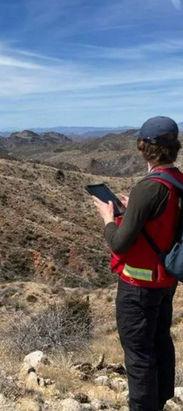
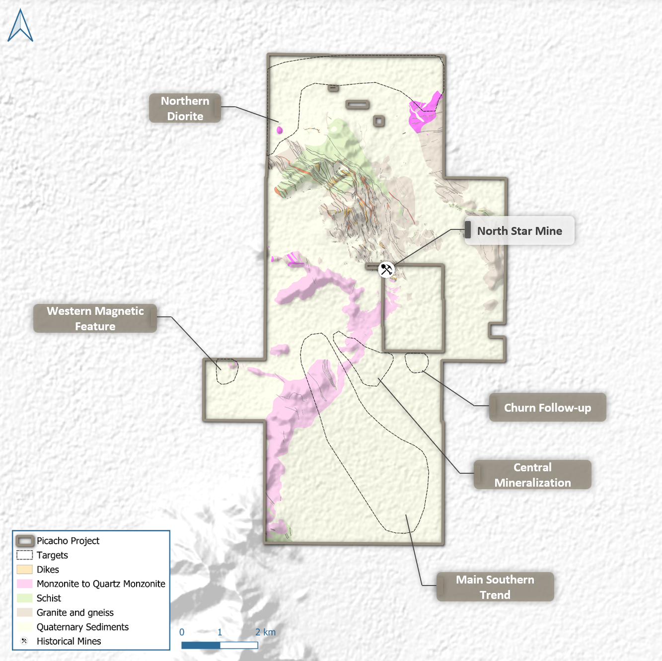
With 100% ownership currently held by Mundoro and available for joint venture, the project is at the Target Testing stage. Exploration has defined 5 priority drill targets through a compilation of gravity, magnetic, and geochemical data. These targets are partially concealed beneath thin cover but remain easily accessible via an extensive existing road network.

Location and access
Strategically situated 60 km northwest of Tucson within a premier porphyry cluster. The project is surrounded by world-class deposits including Resolution, Ray, and Florence Copper. Covering 103 sq. km (94 sq. km of core license), the area is easily accessible via an extensive existing road network, allowing for low-cost, year-round exploration in one of the world's most productive copper jurisdictions.

Status
Subsurface Structural Modeling: The technical team has integrated drone magnetics, ground gravity, and historical IP surveys with lithological data from water wells to define the basement architecture.
Geological Cross-Sections: Three new regional sections have identified favorable structures and magnetic anomalies consistent with porphyry centers concealed beneath shallow, post-mineral alluvial cover.
Geochronology: U-Pb zircon age-dating of igneous units from basement windows confirms the presence of fertile Laramide-aged rocks.

Size
With a footprint of 103 sq. km, Picacho is positioned to capture a major concealed discovery. Exploration has defined 5 priority drill targets, including the Main Southern Trend, Central Mineralization, and the Western Magnetic Feature. These targets represent high-probability "blind" Laramide-aged porphyry centers that have remained untested due to thin pediment cover.

Head office
Vancouver, Canada
Field offices
Bor, Serbia
Belgrade, Serbia
Sofia, Bulgaria
Wilcox, Arizona, USA
Subscribe here to receive email alerts about news, updates, events and more.

© 2026 Mundoro Capital Inc.