Location
Status
Project type
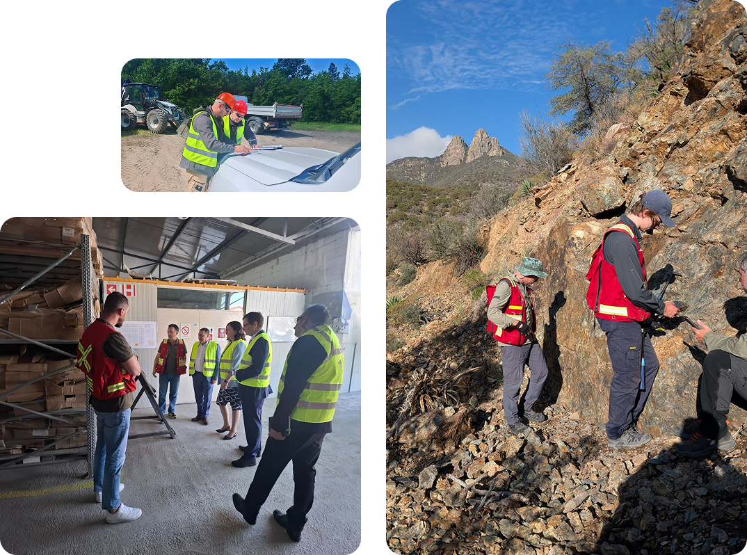
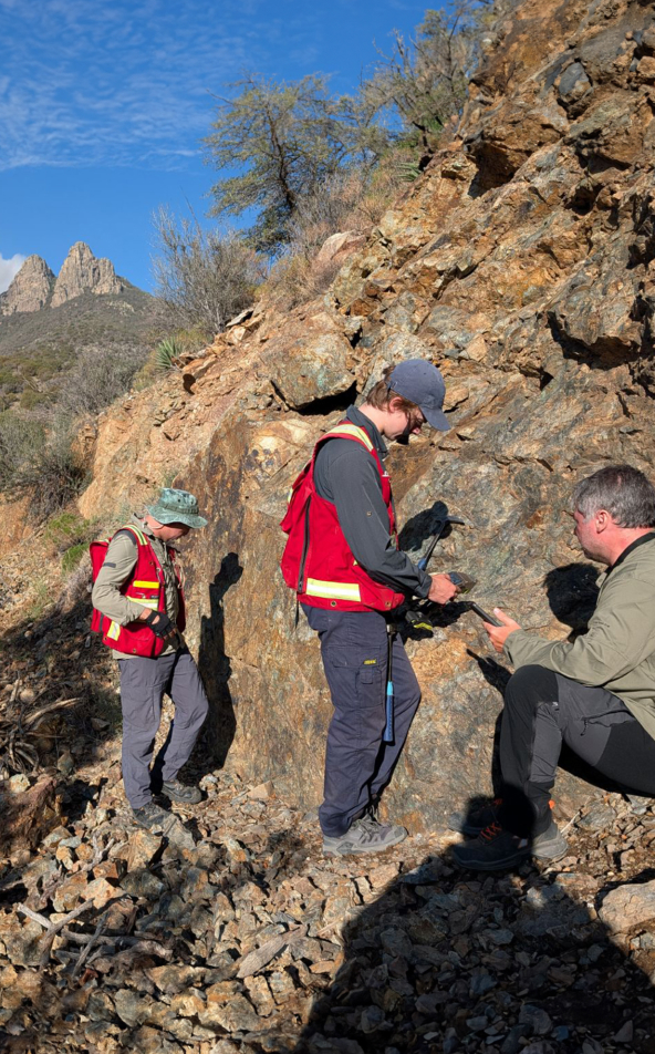
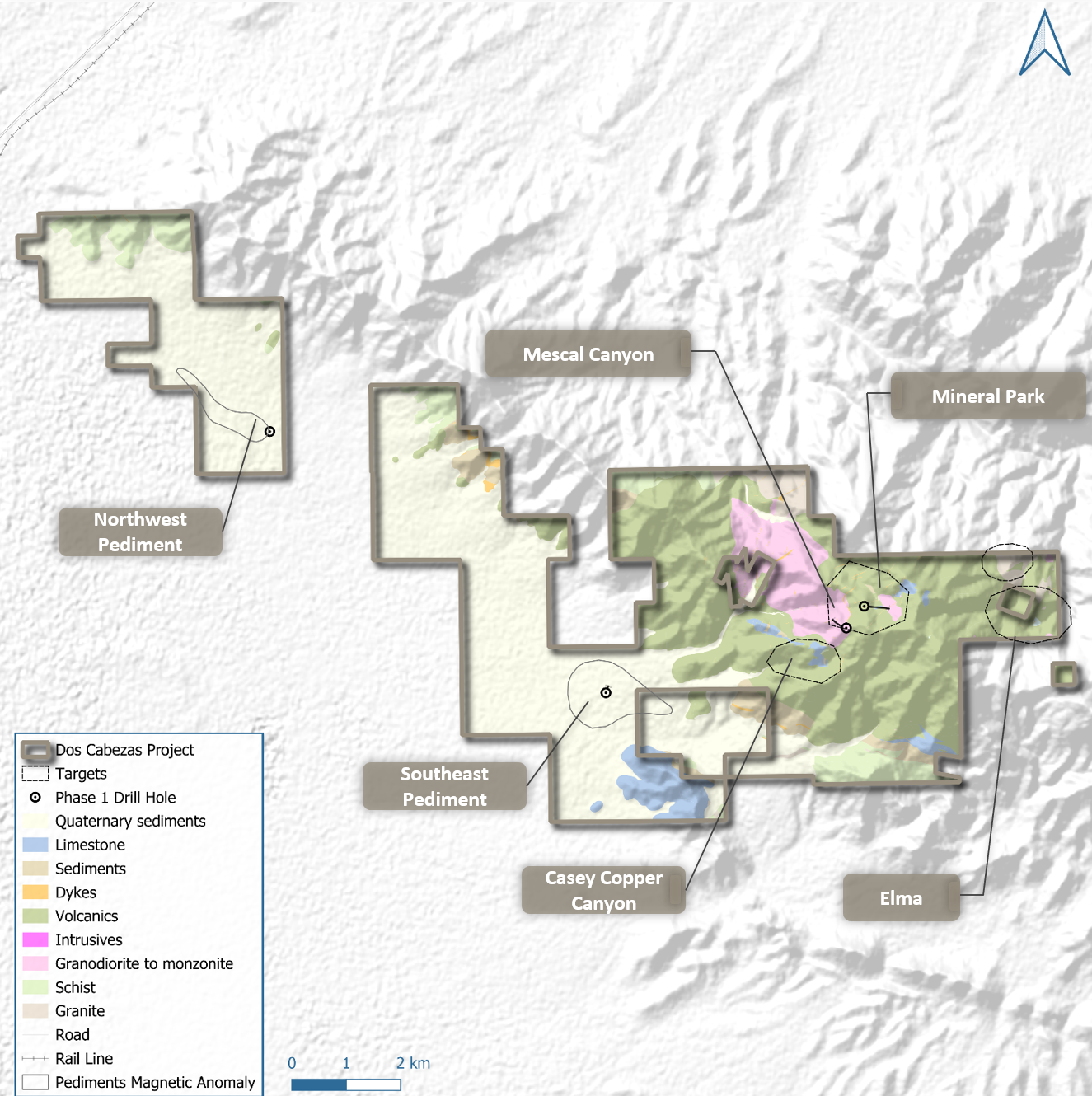
The Dos Cabezas Project is located in SE Arizona, approximately 150 km east of the city of Tucson, within the highly prospective “Laramide” magmatic arc portion of the Southwestern USA cordilleran porphyry belt. The project consists of mixed State Exploration Permits, Federal Unpatented Mining Claims, and exploration agreements with private landowners for a total of approximately 61 sq km. Exploration to date has identified three target areas with potential for outcropping porphyry copper targets and two covered target areas.

Location and access
Located in the prolific Laramide Magmatic Arc of Southeast Arizona, approximately 150 km east of Tucson. The project consolidates a 61 sq. km land package comprising State Exploration Permits, Federal Unpatented Mining Claims, and private land agreements. The area features excellent year-round access and is positioned within a Tier 1 mining jurisdiction responsible for a significant portion of US copper production.

Status
Geochronology Confirmation: Recent U-Pb zircon and Re-Os dating has definitively confirmed the magmatic-hydrothermal system is of Laramide age, linking it temporally to the giant copper porphyry deposits of the Arizona belt.
Advanced Vectoring: Phase 1 drilling intersected multiple zones of alteration over 598m and 744m intervals. Current work is focused on vectoring toward the potassic core relative to these drilled phyllic/propylitic halos.
Target Areas: Six distinct target areas identified to date, ranging from outcropping porphyry signatures at Mescal Canyon and Mineral Park to "blind" targets concealed beneath shallow pediment cover at Northwest Pediment.

Size
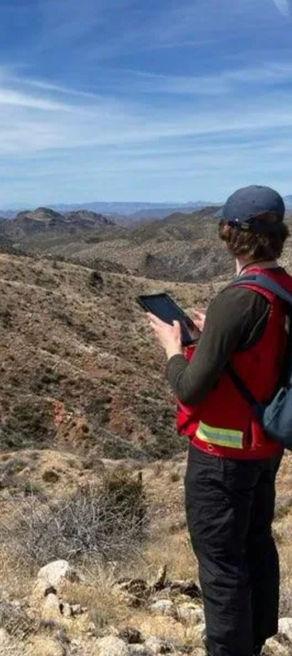
At 61 sq. km, the project offers a unified search space for a major porphyry system. Current exploration is sharpening targets along the Elma-Mascot Corridor, where field teams are linking surface anomalies with the structural architecture of historical mining areas to define high-priority drill sites for the next phase of testin

Head office
Vancouver, Canada
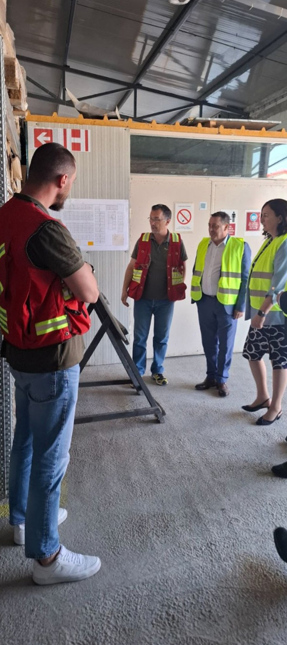
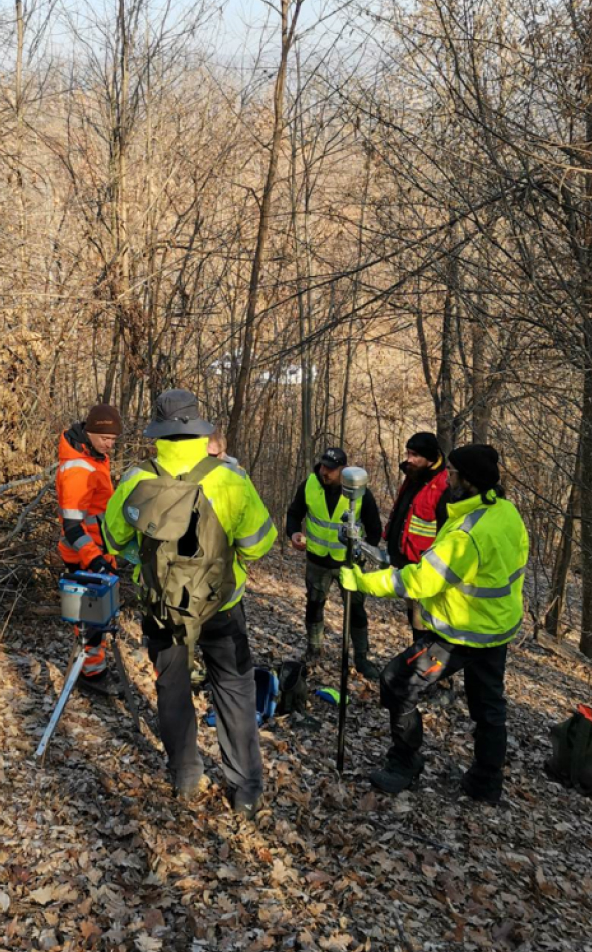
Field offices
Bor, Serbia
Belgrade, Serbia
Sofia, Bulgaria
Wilcox, Arizona, USA
Subscribe here to receive email alerts about news, updates, events and more.

© 2026 Mundoro Capital Inc.